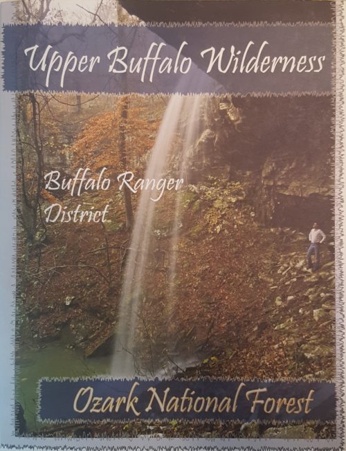

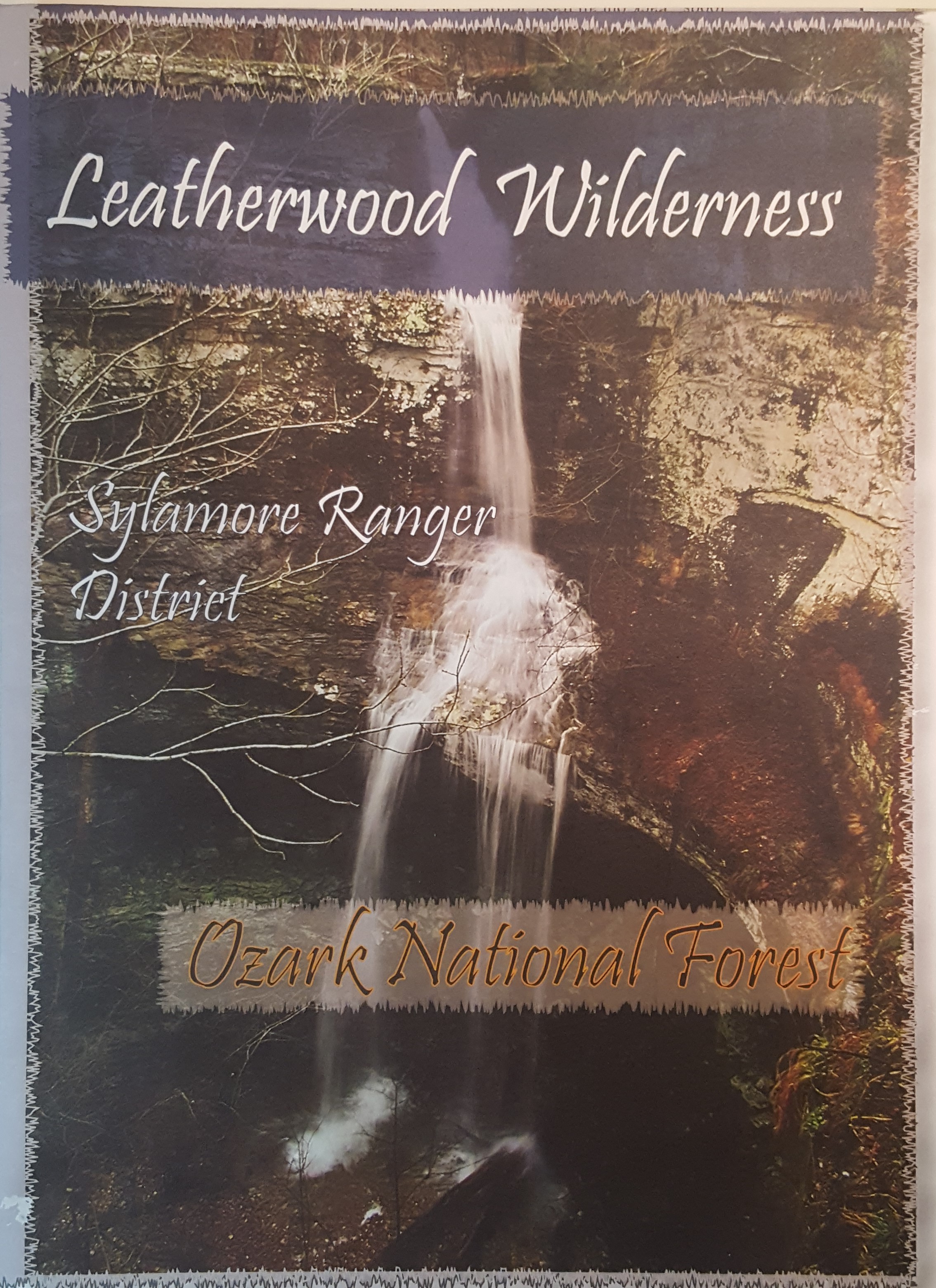
The Ozark Society, in cooperation with the U.S. Forest Service, has produced a series of new Arkansas Wilderness maps. These GPS friendly maps use UTM grids and the standard topo scale of 1:24,000. The Ozark Highland Trail and private inholdings are very clearly marked and valuable contact information and Leave No Trace camping tips are included. The maps feature the photography of Tim Ernst. For the first time, an entire wilderness area can be viewed on one map.
We are currently on vacation, so products from our shop will be unavailable for the next few days. Feel free to view our products for future purchase — we'll be back soon and hope to see you then! Thank you for shopping The Ozark Society.
Leatherwood Wilderness Area Map
$9.00
Description
8.5 by 11 — printed on regular paper — map in color
Additional information
| Weight | 0.1 lbs |
|---|---|
| Dimensions | 11 × 8.5 in |