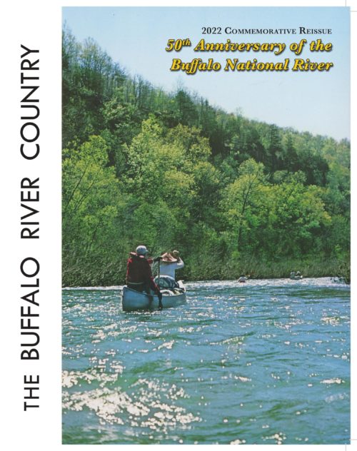

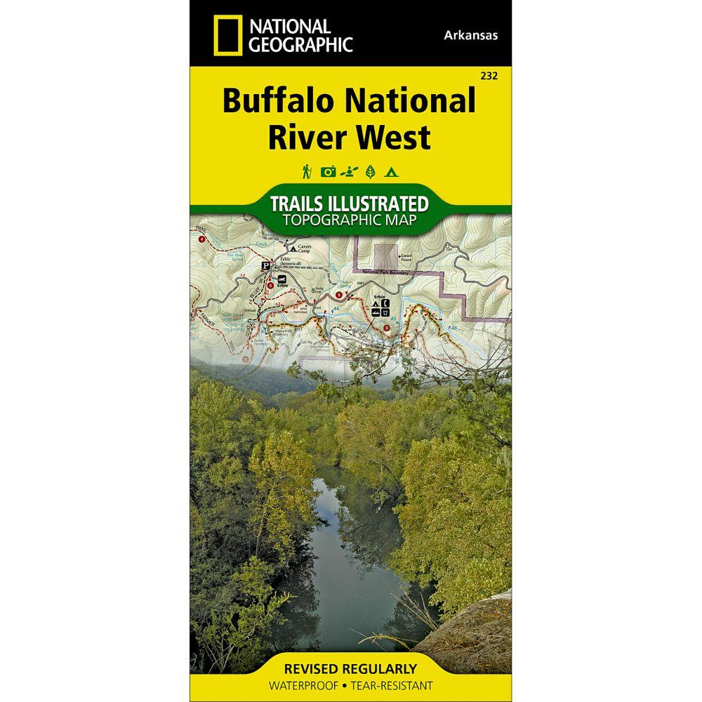
| This map, first published by Trails Illustrated in 1992-93, uses USGS topographic maps as a base. T.I. has added hiking and horse trails, roads, campgrounds and other features not shown on the 1960s vintage USGS maps. The map includes routes of access to river and wilderness, and floaters’ car shuttle routes, and map users will find it easy to calculate the mileage of any trail hike or river trip. Included is a list of day hikes graded by difficulty and information for hikers, floaters, horseback riders, for anyone wanting to explore the Buffalo. This map is printed in four colors on waterproof, tear-proof plastic. Map design and text are by Ken Smith, author of Buffalo River Handbook and The Buffalo River Country, with cooperation from the National Park Service and U.S. Forest Service. |
National Geographic Buffalo National River (West) Map
$14.95
Additional information
| Weight | 0.2 lbs |
|---|---|
| Dimensions | 4.1 × 9.2 in |