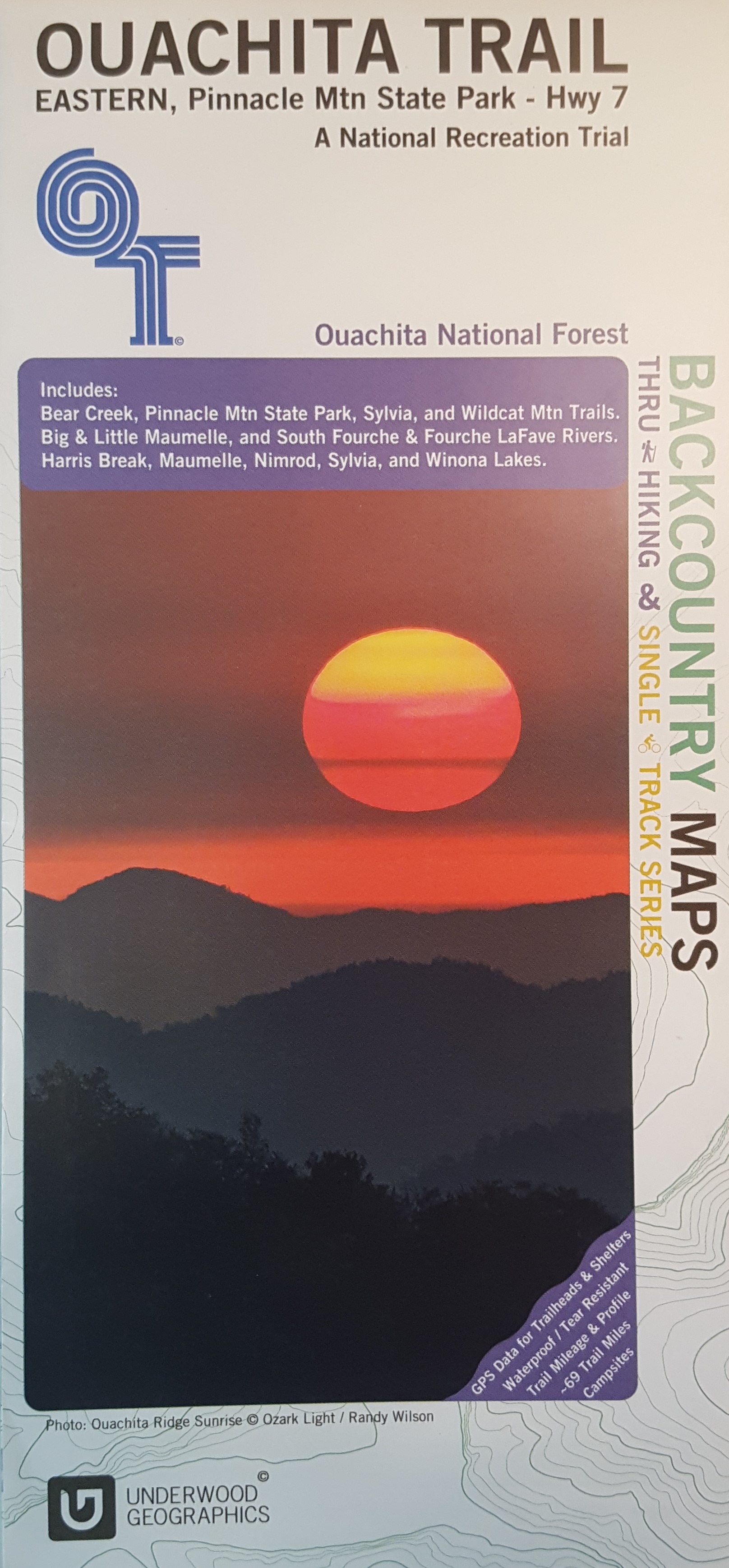
This is a beautiful, descriptive map of the eastern portion of the Ouachita Trail completed by Underwood Graphics. The map covers the Ouachita Trail from Pinnacle Mountain State Park to Highway 7 and includes: Bear Creek, Pinnacle Mountain State Park, Sylvia, and Wildcat Mountain Trails. The map depicts the following rivers: Big and Little Maumelle, South Fourche, and Fourche LaFave. Harris Break, Maumelle, Minrod, Sylvia, and Winona Lakes are also shown.
Ouachita Trail Map (Eastern)
$14.95
Description
Water resistant paper–folds to 9.25 by 4.5 inches
Additional information
| Weight | 0.2 lbs |
|---|---|
| Dimensions | 9.25 × 4.5 in |