ISBN: 978-0-9982807-6-9
Ozark Highlands Trail East Map
$14.95
Description
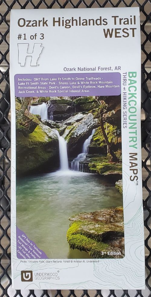
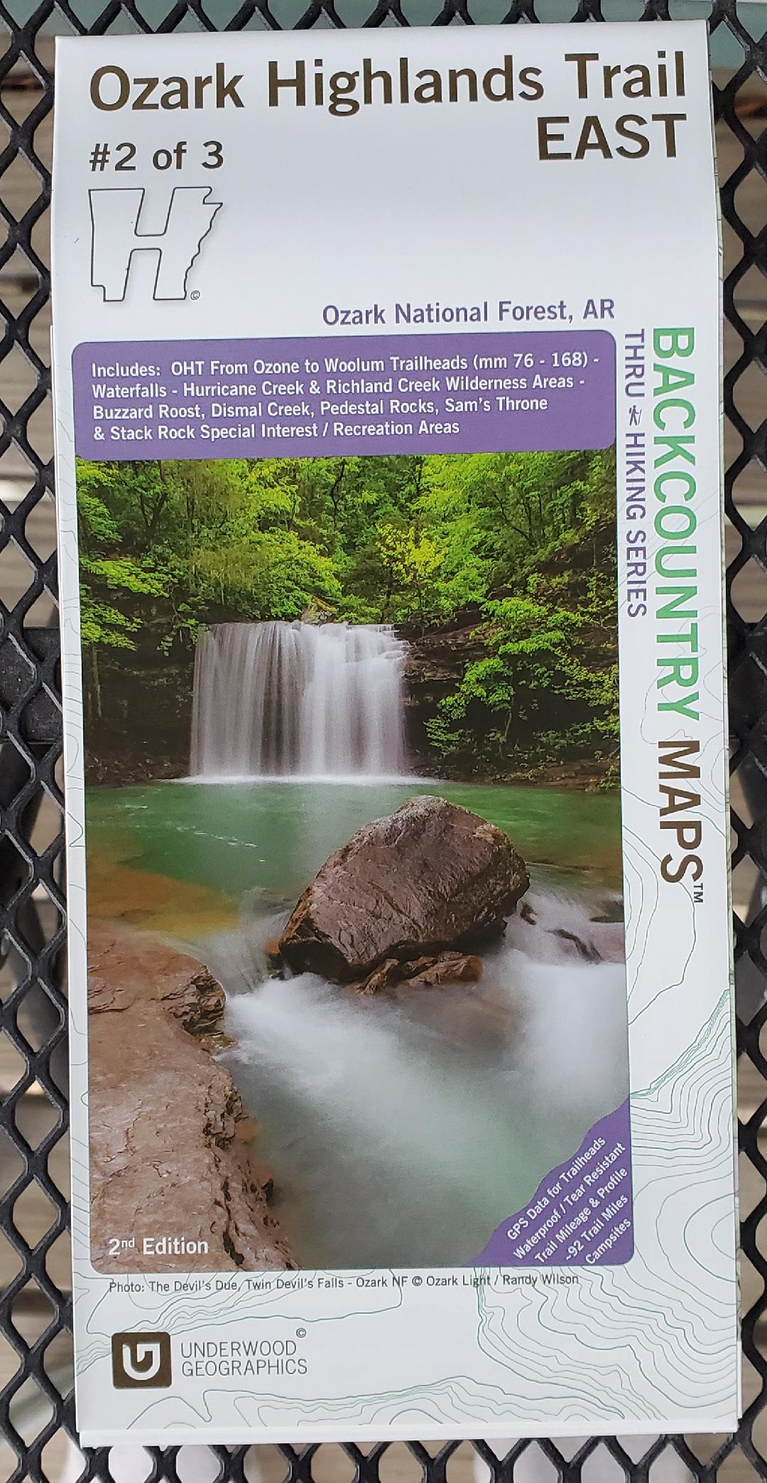
This Underwood Graphics map is one of three maps (West, East, and North) that illustrate the Ozark Highlands Trail. This is the second edition of the East map.
This map includes: OHT from Ozone to Woolum trailheads (mm 76-168) – Waterfalls – Hurricane Creek and Richland Creek Wilderness Areas – Buzzard Roost, Dismal Creek, Pedestal Rocks, Sam’s Throne and Stack Rock Special Interest/Recreation Areas.
All three maps in this series feature GPS data for trailheads, waterproof and tear resistant paper, trail mileage and profile information, campsite locations, and more.
Additional information
| Weight | 0.1 lbs |
|---|