ISBN: 978-0-9982807-8-3
Ozark Highlands Trail West Map
$14.95
Description
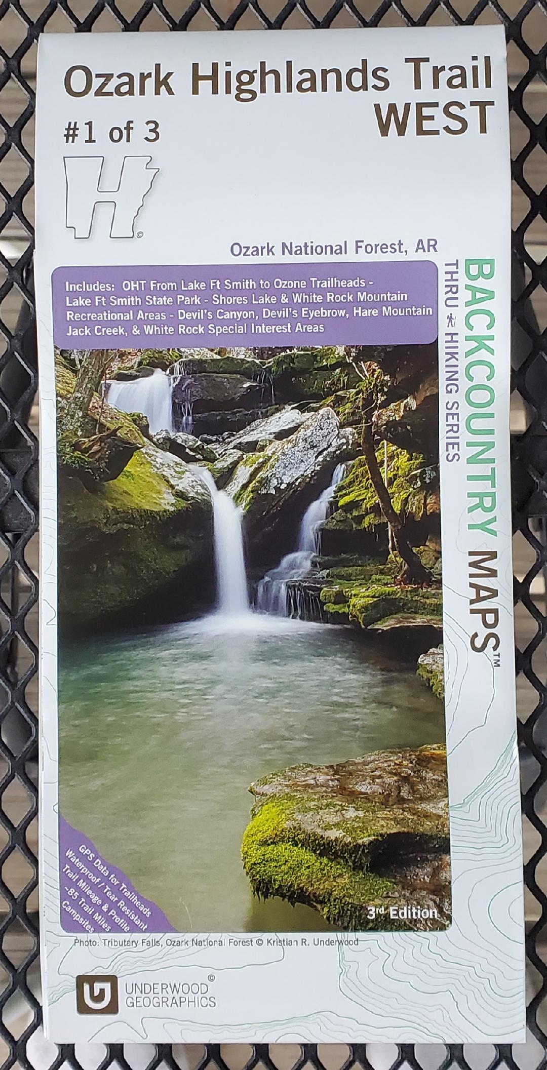
This Underwood Graphics map is one of three maps (West, East, and North) that illustrate the Ozark Highlands Trail. This is the third edition of the West map.
This map includes: OHT from Lake Ft Smith to Ozone Trailheads – Lake Ft Smith State Park – Shores Lake and White Rock Mountain Recreational Areas – Devil’s Canyon, Devil’s Eyebrow, Hare Mountain Jack Creek, and White Rock Special Interest Areas.
All three maps in this series feature GPS data for trailheads, waterproof and tear resistant paper, trail mileage and profile information, campsite locations, and more.
Additional information
| Weight | 0.1 lbs |
|---|