-
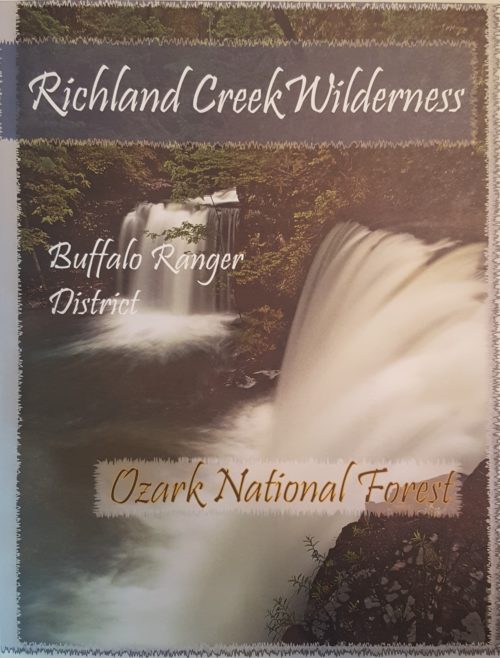 The Ozark Society, in cooperation with the U.S. Forest Service, has produced a series of new Arkansas Wilderness maps. These GPS friendly maps use UTM grids and the standard topo scale of 1:24,000. The Ozark Highland Trail and private inholdings are very clearly marked and valuable contact information and Leave No Trace camping tips are included. The maps feature the photography of Tim Ernst. For the first time, an entire wilderness area can be viewed on one map.
 -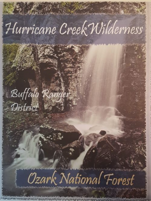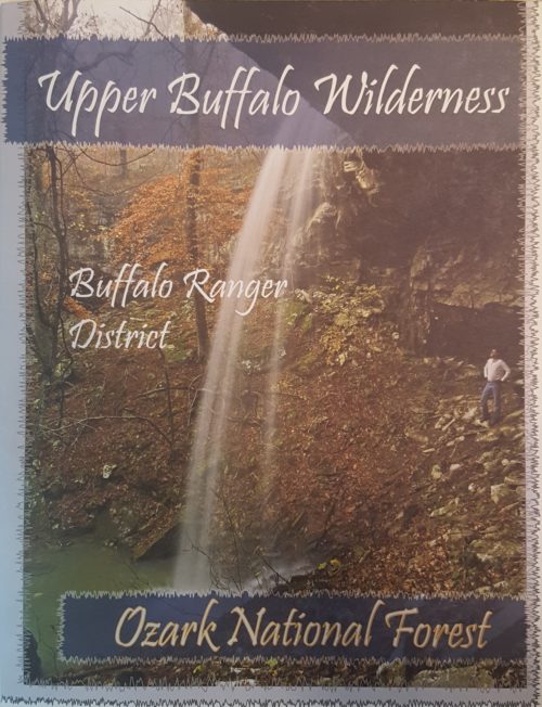
 Represent the Ozark Society with this small metal pin!
 -
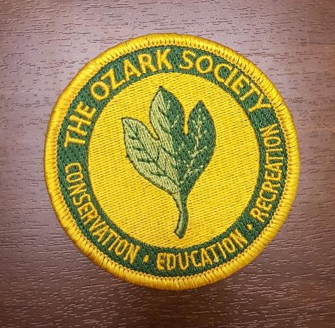 This patch has an adhesive back and can be ironed on or sewn on.