-
 The Ozark Society, in cooperation with the U.S. Forest Service, has produced a series of new Arkansas Wilderness maps. These GPS friendly maps use UTM grids and the standard topo scale of 1:24,000. The Ozark Highland Trail and private inholdings are very clearly marked and valuable contact information and Leave No Trace camping tips are included. The maps feature the photography of Tim Ernst. For the first time, an entire wilderness area can be viewed on one map.
 -
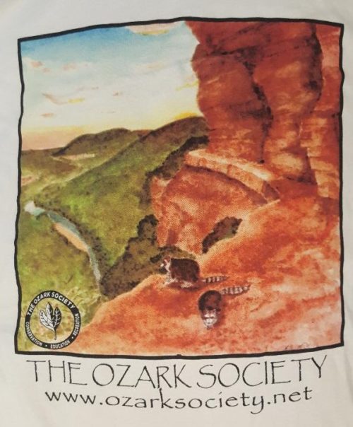
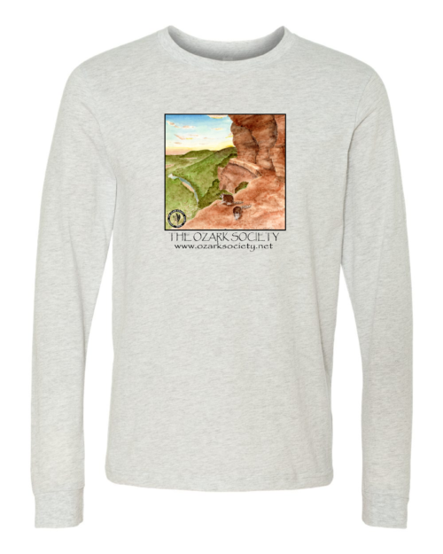
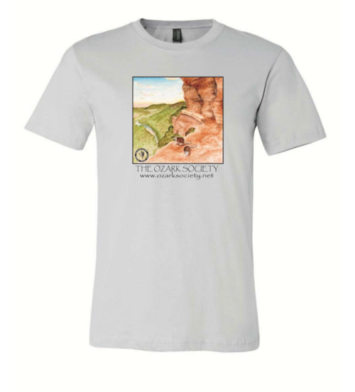
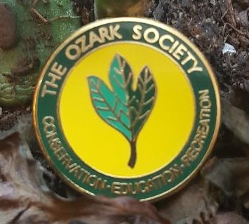 Represent the Ozark Society with this small metal pin!
 -
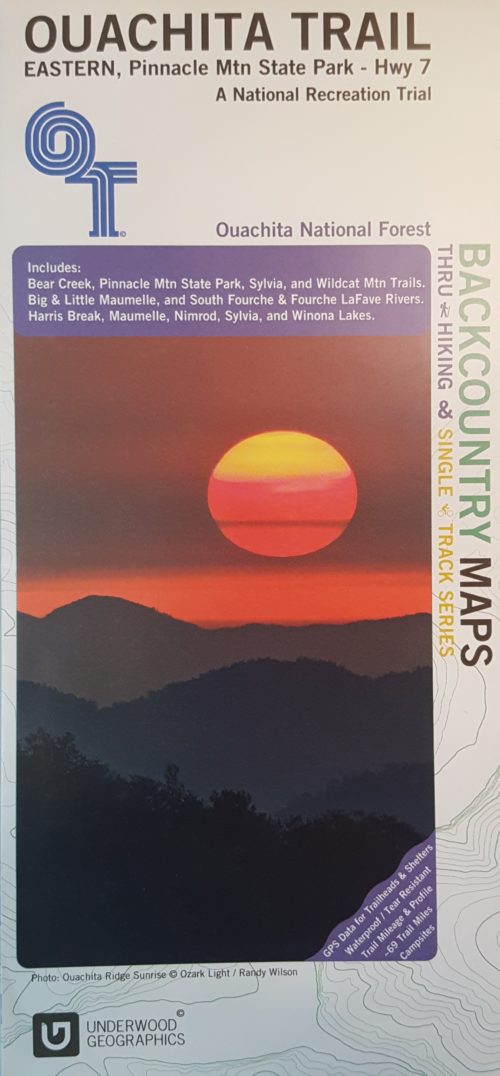 This is a beautiful, descriptive map of the eastern portion of the Ouachita Trail completed by Underwood Graphics. The map covers the Ouachita Trail from Pinnacle Mountain State Park to Highway 7 and includes: Bear Creek, Pinnacle Mountain State Park, Sylvia, and Wildcat Mountain Trails. The map depicts the following rivers: Big and Little Maumelle, South Fourche, and Fourche LaFave. Harris Break, Maumelle, Minrod, Sylvia, and Winona Lakes are also shown.
 -
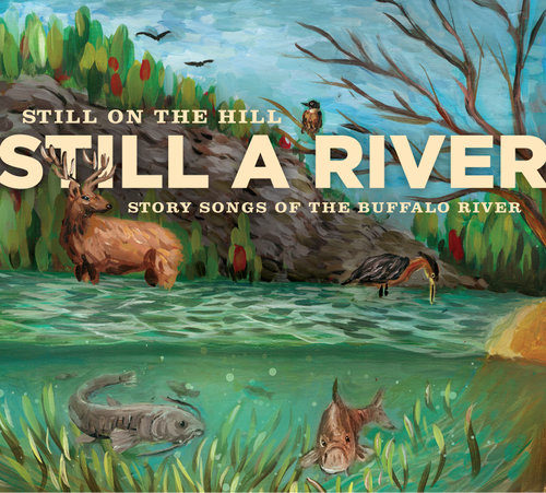 Still on the Hill builds on their reputation as ‘ambassadors of the Ozarks’ with this collection of story songs of the Buffalo River. The river was scheduled to be dammed in the late 60s but a state-wide uprising prevented this fate and it became our nation’s first historic river--a National Park to flow free for all time. Still a River celebrates this pristine river and its rich treasure trove of stories in the form of song. This folk duo comprised of Kelly and Donna Mulhollan have deep Ozark roots and both are powerful instrumentalists, vocalists, and songwriters. They have been recognized by the State of Arkansas for their work and received the Governor’s Folk Life Award in 2009. This project was funded by the Buffalo River Watershed Alliance, the Ozark Society, and the community of NW Arkansas. Release Date: 2016