-
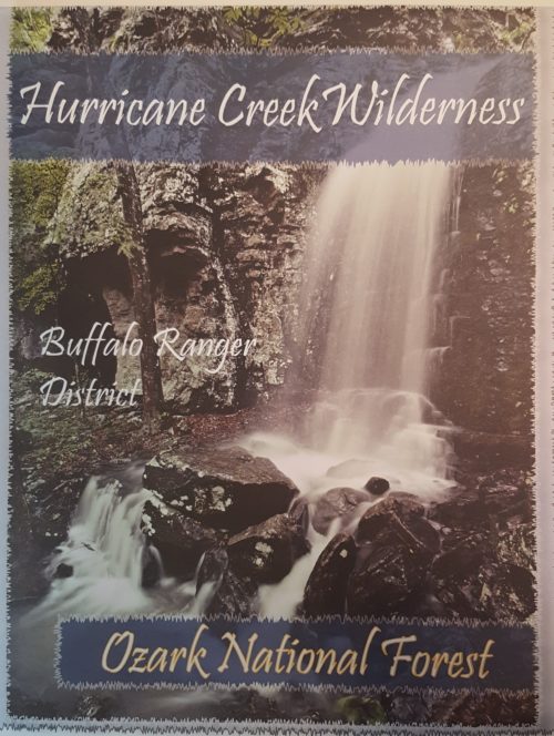
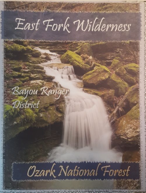
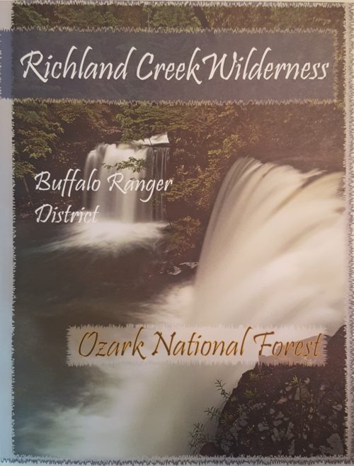 The Ozark Society, in cooperation with the U.S. Forest Service, has produced a series of new Arkansas Wilderness maps. These GPS friendly maps use UTM grids and the standard topo scale of 1:24,000. The Ozark Highland Trail and private inholdings are very clearly marked and valuable contact information and Leave No Trace camping tips are included. The maps feature the photography of Tim Ernst. For the first time, an entire wilderness area can be viewed on one map.
 -
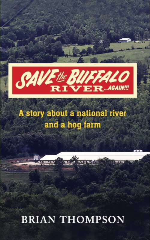 "A massive industrial hog operation is quietly permitted and constructed near the Buffalo National River, the pristine crown jewel of the state of Arkansas. It is nearly complete by the time the public becomes aware of it, too late to do anything to stop it. This is the true story of how a small group of Arkansans stood toe to toe with powerful special interests, state and federal agencies, the state legislature, and two of the largest corporations in the world, all to protect the Buffalo National River for future generations. Ignored and disparaged, they lost every step of the way. ...Until they won." Save the Buffalo River Again by Brian Thompson $16.95
 -
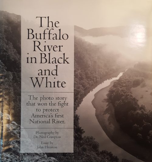 These wonderfully detailed and beautifully printed photographs are about people's adventures and discoveries: The Buffalo River and its towering bluffs, its side canyons with hidden waterfalls, its natural bridges, historic places, and more. For those who have been there, the book brings great memories. Been there or not, it can inspire you to learn more. In his essay, John Heuston tells how these photographs became powerful weapons in historic battles to keep the Buffalo River and other wonders from being spoiled. The book’s nearly 100 photographs are reproduced by the same duotone process employed for the finest books of photographic art. 96 pages, hardbound, 9½ x 10.
 -
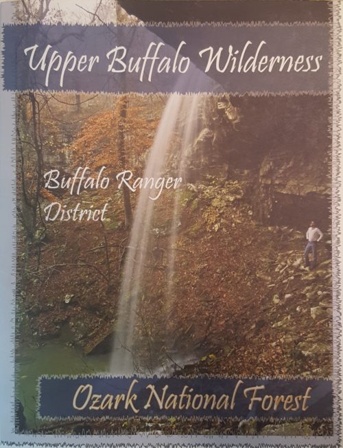
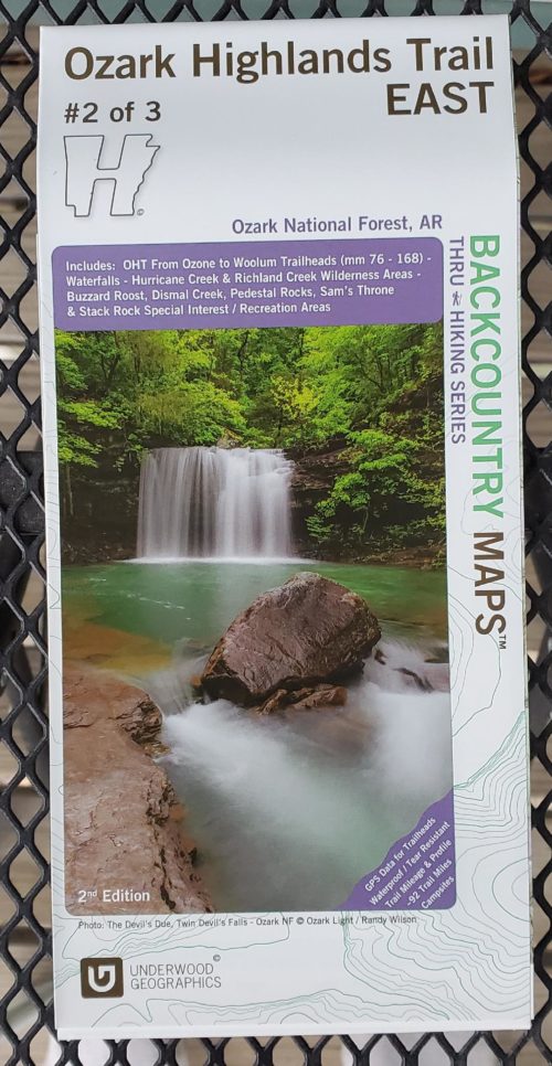
 The Ozark Society, in cooperation with the U.S. Forest Service, has produced a series of new Arkansas Wilderness maps. These GPS friendly maps use UTM grids and the standard topo scale of 1:24,000. The Ozark Highland Trail and private inholdings are very clearly marked and valuable contact information and Leave No Trace camping tips are included. The maps feature the photography of Tim Ernst. For the first time, an entire wilderness area can be viewed on one map.
 -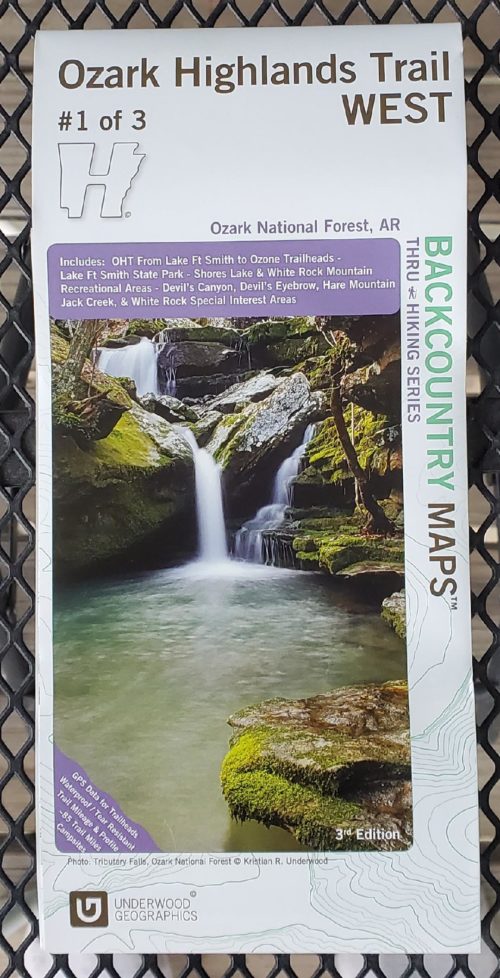
 Represent the Ozark Society with this small metal pin!
 -
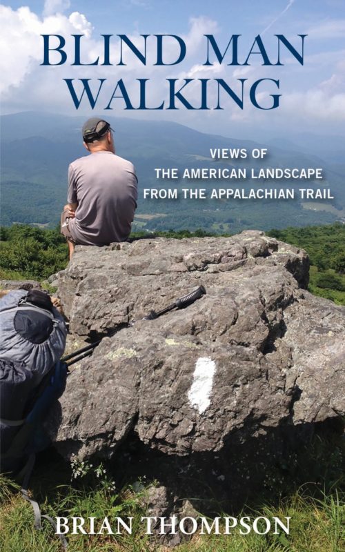 Two old college buddies contemplate hiking the Appalachian Trail. The problem is, one of them is severely vision impaired and his ability to follow a simple footpath is in serious question. They decide to first try an overnight hike in Arkansas; an unmitigated disaster. Upon their return, one fellow's wife declares he is too old fat and blind to be crashing about in the woods. The other’s wife notes how lucky they are to have learned their lesson before attempting anything as seriously challenging as the Appalachian Trail. Humiliated, their dignity in tatters, (and perhaps not the fastest learners), they decide to go anyway. This is their story, traveling America’s greatest footpath; the places, the people, the history. ISBN: 979-8577057978, 276 pages, paperback, February 2021
 -

This beautiful color illustrated book provides a clear, concise way for children to identify Arkansas’s state butterfly, the Diana Fritillary, in its natural habitat by Lori A. Spencer. It features 28 color photographs, drawings, and other resources for children, parents, and social studies teachers.
-
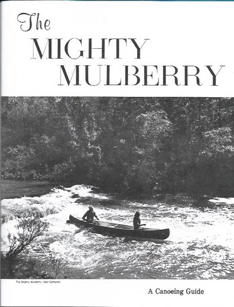 The Mighty Mulberry is a “nostalgia” item originally printed in 1974. It has wonderful photos of many of the Ozark Society founding members, including authors Harold and Margaret Hedges running Sacroiliac in their aluminum canoe. The center is one of the best maps of the Mulberry ever produced containing all of the rapids under their original names. This booklet has been faithfully reprinted on fresh, crisp print stock. Enjoy a new copy of this classic Ozark Society publication. Quantities limited. $10.00
 -
 ISBN: 978-0-9982807-6-9
 -
 ISBN: 978-0-9982807-8-3